.
.
.
.
.
1. map scale
Map scale is the relationship between the size of a map and the size of the earth's surface or whatever else is being mapped (the moon, chromosomes, a brain). Knowing the map's scale enables you to measure distances or areas on the map.
It can be expressed in three ways.
a representative fraction: 1/1000 or 1:1000
a written statement: one inch equals one mile
a graphic scale: a line marked with distance like a ruler
| 0 - 50 - 100 - 150 - 200 - 250 - 300
|
see map scale
2. resolution or "level of zoom"
1. Resolution is the accuracy at which a given map scale can depict the location and shape of geographic features. The larger the map scale, the higher the possible resolution. As the map scale decreases, resolution diminishes and feature boundaries must be smoothed, simplified, or not shown at all. For example, small areas may have to be represented as points.
2. The size of the smallest feature that can be represented on a surface.
3. The number of cells in the x- and y-directions in a raster image.
ESRI ArcGIS manual.
As you zoom in and out on a map or image, certain features disappear while others come into view.
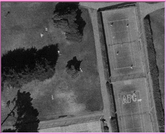
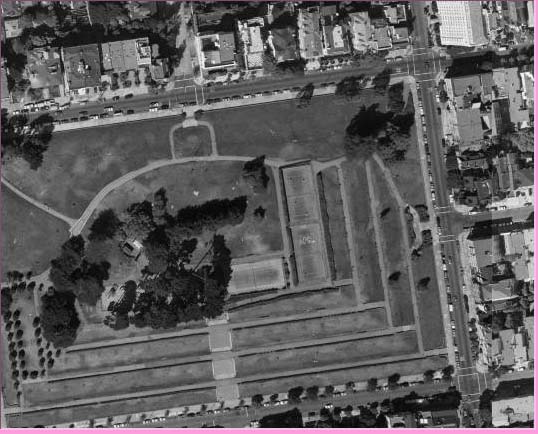
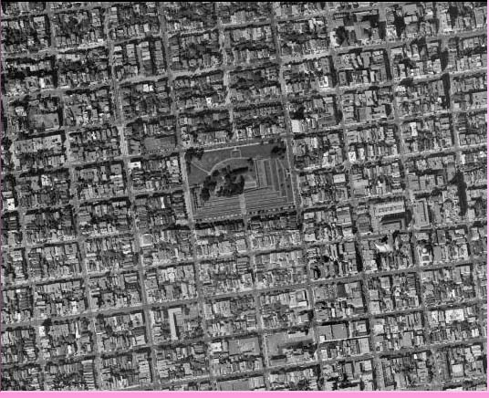
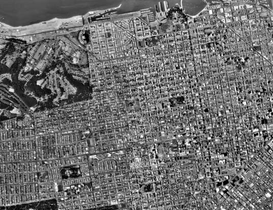
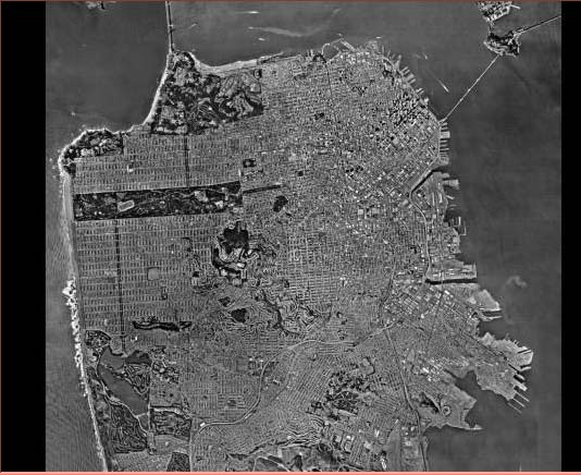
Details either fall off the edge, or disappear into the pixels.